

While about 75 per cent of the state is sweltering through a heatwave, a tropical cyclone raging off the Pilbara coast is expected to intensify to a category four system.
While about 75 per cent of the state is sweltering through a heatwave, a tropical cyclone raging off the Pilbara coast is expected to intensify to a category four system.
By Holly Thompson
Updated January 20, 2025 — 12.06pmfirst published at 8.19am
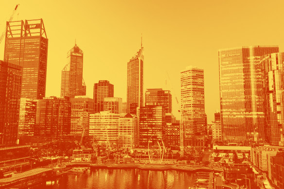
Perth is predicted to swelter through near-record high temperatures overnight, as the state prepares for a heatwave throughout the week.
The mercury will drop to a low of just 29 degrees on Monday night, with the day temperature predicted to hit a maximum of 44 degrees in the CBD and 45 degrees in the eastern suburbs.
Tonight’s minimum will rival a record overnight minimum of 29.7 degrees set in 2014.
Temperatures will remain high until Sunday when the maximum drops to 29 degrees.
Bureau of Meteorology duty forecaster Jessica Lingard said a severe heatwave warning covered about 50 per cent of the state, while a low intensity heatwave covered another 25 per cent.
She said the high of 44 degrees in Perth was on track to be the hottest January temperature recorded in a decade – the CBD hit 44.4 degrees on January 5, 2015.
“What will really tick this heatwave up a notch is the overnight minimums sticking in the mid-to-high 20s,” she said.
In the Mid-West region, Eneabba is predicted to hit 48 degrees Monday, Morawa, Gingin and Carnamah will hit 45 degrees and Yalgoo and York will reach 44 degrees.
A west coast trough is driving the heatwave, pushing high temperatures further south.
Premier Roger Cook urged the community to keep cool by seeking out places with air conditioning and to check on vulnerable friends or family members.
Meanwhile, a category three tropical cyclone – Cyclone Sean – has formed off the Pilbara coast, with severe winds and heavy rain wreaking havoc in the coastal town of Karratha over the weekend.
Karratha Airport has recorded more than 274 millimetres of rain since 9am on Sunday – breaking the record for the highest rainfall in a single day that was previously set in 2006.
Another 100 millimetres of rainfall is predicted again on Monday, but the town is now outside the cyclone warning zone.
Lingard said there was a possibility the cyclone would be upgraded to a category four, and would remain a severe storm throughout the day, before calming down on Tuesday as it moved south-west into cooler waters away from the coast.
Karratha resident Cathy Gallagher told 9 News Perth that the downpipes at her home were overflowing and there had been some flooding in the area.
“I noticed a lot of the locals have brought sandbags,” she said.
Cook said there had been no reports yet of any significant damage.
“We know cyclones are unpredictable. Sometimes they do what they like, not what the Bureau of Meteorology predicts so please stay tuned to your emergency services outlets and make sure that you are doing everything you can to keep yourself safe,” he said.
“We’re not anticipating having to deploy extra emergency services, but we stand ready.”
The cyclone warning extends from Mardie to Ningaloo, including Exmouth, Barrow Island and Onslow. Winds near the centre of the storm have hit 130 kilometres per hour with gusts up to 180 kilometres per hour.
Stay up to date on the Emergency WA website.
Get alerts on significant breaking news as happens. Sign up for our Breaking News Alert.
Holly Thompson is a journalist with WAtoday, specialising in education.Connect via Twitter or email.
Discover more from World Byte News
Subscribe to get the latest posts sent to your email.